Detailed geological mapping of Flinders Island
The Geological Survey Branch commenced detailed geological mapping of Flinders Island in March/April 2025, initially focusing on the central parts of Flinders Island. The landforms, soil and vegetation of the Furneaux Islands rest on a substrate of varied geology, which has only received sporadic attention by geologists and geomorphologists, and very little detailed geological mapping has so far been completed. Recently acquired magnetic, radiometric and topography (LIDAR) imagery greatly assisted the field work.
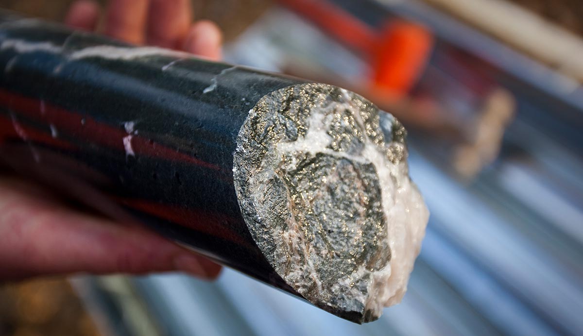
One of the applications of the new mapping will be to understand the geological framework for critical minerals in north-eastern Tasmania as well as aquifer modelling of the groundwater resources with hydrogeologists from other government departments. While undertaking this work the Geological Survey branch is continuing its mapping efforts in the Donaldson River area of NW Tasmania.