Spatial Data Downloads
Published:
Updated:
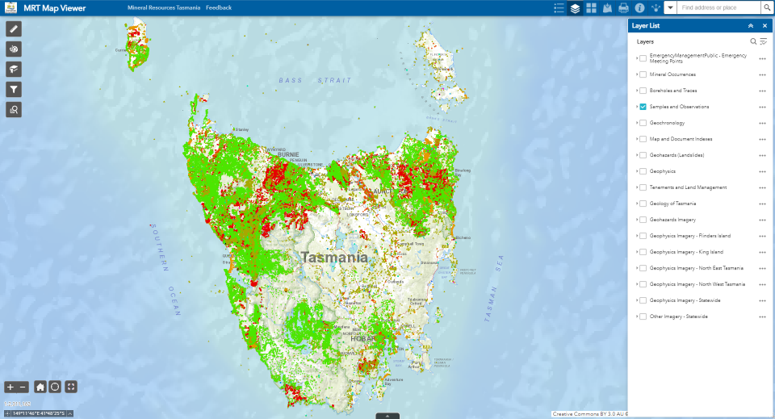
A new digital data downloads page is now live on the MRT website https://www.mrt.tas.gov.au/products/digital_data2
The following spatial data is available in four different formats (Shapefile, MapInfo, ESRI File Geodatabase, and Geopackage):
- Geology - 25k, 250k and 500k
- Mineral Tenements – current and historic
- Strategic Resources/Strategic Prospectivity Zones
- Mineral Occurrences
- Boreholes (Drill Holes) and Borehole Traces
- Samples and Observations
- Geohazards
- Geophysics – airborne surveys, gravity data
The above data may also all be viewed online via the MRT Map Viewer: https://maps.stategrowth.tas.gov.au/portal/apps/webappviewer/index.html?id=a944e36a6e7e40b6b81d4ce8ad7aa7cc